BRITAIN BENEATH · GUIDE · 8 OCTOBER 2026
Saddleworth’s Hidden Defences: Two Shelters, One Underground Link
Near Yeoman Hey Reservoir, wartime builders joined two hidden shelters with a passage through the hillside. Their crews were positioned to cover the road below.
Based on published records and visitor information. We have not visited these places.
AI-generated illustration
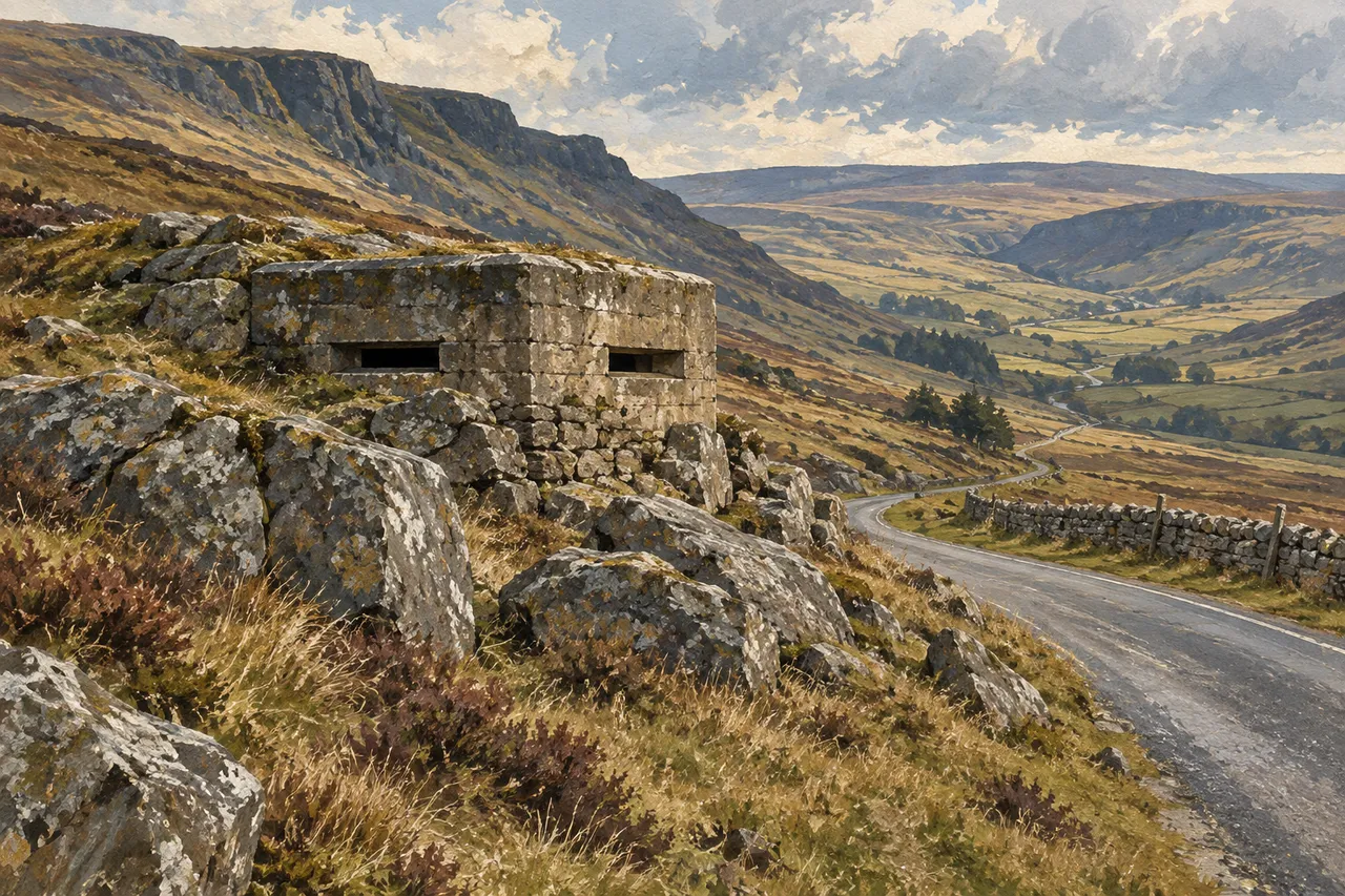
An imagined roadside shelter shows how defences could fit into rocky ground. It is not an exact view of Saddleworth’s shelters or a public route to them.
AI-generated for Britain Beneath · 2026-09-27. Resized and converted to WebP for faster loading; no cropping.
Watching the roads through the hills
An underground passage linked two wartime shelters near Yeoman Hey Reservoir. Builders set one above the other in a steep hillside, with narrow openings facing the A635. The openings gave crews a view of the road and a position from which to fire at vehicles approaching it.
These small fortified shelters are called pillboxes. During 1940 and 1941, planners prepared separate positions to defend roads through Saddleworth. Another pillbox covered the A62 near Standedge.
The builders used rock, stone facing and grass to hide the shelters. Their designs followed the hills around them, with the roads determining where the crews needed a view. The passage between the Yeoman Hey pair has no confirmed public opening.
- Historic England — Saddleworth Moor A635 linked pillboxes ↗ · reviewed 2026-09-22
- Historic England — Standedge A62 pillbox ↗ · reviewed 2026-09-22
Two shelters joined underground
The A635 pair sits partly within a steep hillside. One shelter is higher than the other. An L-shaped passage joins them underground. They were made from brick, concrete and sandstone, with their upper parts among natural rocks.
Narrow openings faced the road coming down from Saddleworth Moor. The slope and rocks helped hide the shelters. Their position covered the road link between Barnsley and Manchester.
Parts of the shelters are buried in the slope, and their map point is only approximate. The underground passage joined the pair, but we have not confirmed any public opening. Do not enter it.
- Historic England — Saddleworth Moor A635 linked pillboxes ↗ · reviewed 2026-09-22
Hidden under stone and grass
At Standedge, dry stone covers a brick-and-concrete pillbox. Grass covers its roof. Beside a field wall, the shelter was made to blend into the hillside.
Its openings reveal its other purpose. They were made for rifles or light machine guns. Three faced the A62 below. Historic England describes another defended spot on the important road between Huddersfield and Manchester.
- Historic England — Standedge A62 pillbox ↗ · reviewed 2026-09-22
No confirmed public entry
The records describe the shelters and where they stood. They do not tell us that visitors can go inside. They do not prove the land is public or that it is safe to stop a car nearby. We have not confirmed a public opening.
If visiting the wider hills, check local access details and use public routes. Do not try the buried passage between the A635 shelters. Do not enter a pillbox because its location appears on a map.
The road-facing openings and concealed walls describe the plan plainly: crews could cover traffic through the hills while remaining behind protected positions. The linked records provide that history without entry to the shelters.
- Historic England — Saddleworth Moor A635 linked pillboxes ↗ · reviewed 2026-09-22
- Historic England — Standedge A62 pillbox ↗ · reviewed 2026-09-22
Sources and further reading
Written from the linked official records, checked on 22 September 2026. We have not visited these places. Check that the people running a place say it is open before planning entry. Map points are not visitor entrances. Check current visitor details before travelling. The 2 place records below give more information.
- Pair of Second World War pillboxes, A635, Greenfield, Saddleworth Moor — 1465066
- World War Two pillbox overlooking A62 (Huddersfield Road), Bleak Hey Nook, Standedge — 1465069
You can follow the links to read the original sources. Sources and permissions.