BRITAIN BENEATH · GUIDE · 8 OCTOBER 2026
Thornton Viaduct: The Railway’s S-Bend You Can Walk
Thornton’s twenty arches form an S across the valley. The former railway crossing is now part of a public trail for walkers and cyclists.
Based on published records and visitor information. We have not visited these places.
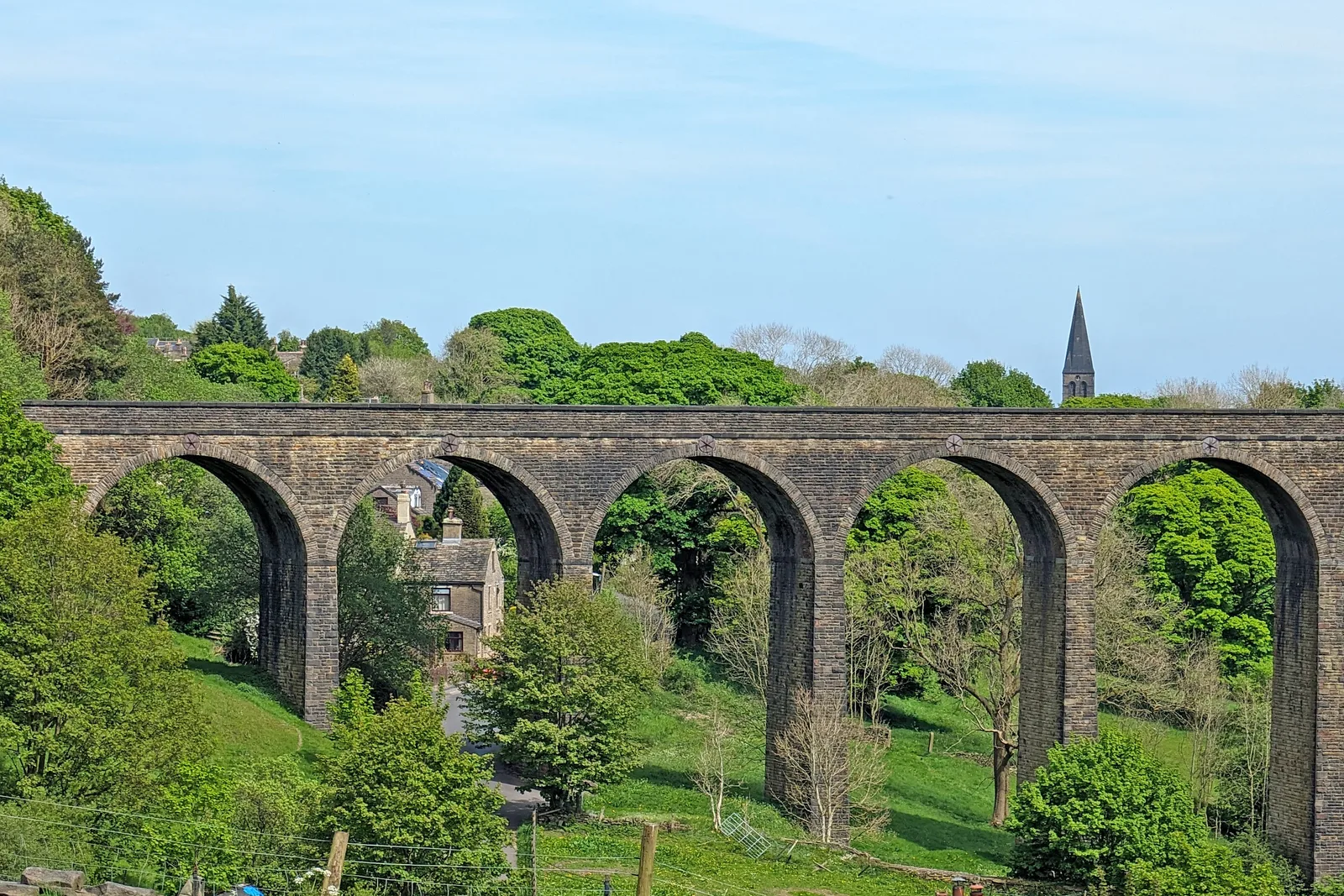
Thornton Viaduct, photographed in May 2024.
Thornton Viaduct by Tim Green · CC BY 2.0. Wikimedia rendition converted to WebP and resized where needed; no cropping or retouching. Photographic derivatives remain under the stated licence.

Why the bridge curves
Thornton Viaduct curves in an S across the Pinch Beck valley. Walkers and cyclists now follow that curve on the Great Northern Railway Trail, along a route first built for trains.
Historic England dates the twenty sandstone arches to about 1876–1878. The crossing connected the railway approaches at each end rather than taking a straight line over the valley.
The wider railway linked Bradford, Halifax and Keighley through bridges and tunnels across difficult ground. Thornton’s public trail reuses one part of that network. It does not open every former railway structure nearby.
- Historic England — Thornton Railway Viaduct ↗ · reviewed 2026-09-13
- Bradford Council / Sustrans — Great Northern Railway Trail ↗ · reviewed 2026-09-13
Following the route on foot
The view changes as you join the public trail. From below, you see the arches and their supports. On the bridge, you follow the old railway’s curve across the valley.
Trains could not manage the sharp turns or steep slopes that walkers could. Builders needed a line the trains could manage, then bridges and tunnels to hold that route through the hills. Thornton’s S-bend connected the approaches instead of forcing a straight crossing onto the valley.
The public trail reuses part of the railway route as well as its stone bridge. Walkers and cyclists now cross the valley on a structure built for trains.
- Historic England — Thornton Railway Viaduct ↗ · reviewed 2026-09-13
- Bradford Council / Sustrans — Great Northern Railway Trail ↗ · reviewed 2026-09-13
Using the public trail
Bradford Council hosts a Great Northern Railway Trail leaflet made with Sustrans. It shows Thornton’s crossing and the wider route. It is an older leaflet, useful for the history and a broad plan. It is not a current report on closures or surfaces.
Follow the marked public trail and signs on the day. Take care where the route meets roads. Share it considerately with walkers and cyclists.
A former railway on a map does not make every tunnel, cutting or nearby stretch public. This guide does not recommend entry to Queensbury Tunnel or leaving the confirmed route. We have not checked the full trail in person.
On the public crossing, you can follow the former train route around its S-bend. Use the marked trail and check current notices rather than extending the walk onto nearby railway land.
- Bradford Council / Sustrans — Great Northern Railway Trail ↗ · reviewed 2026-09-13
Sources and further reading
Based on the linked official heritage records and visitor pages. We have not visited or confirmed access directly. Older descriptions and photos may not reflect today’s condition. Check current official visitor advice before travelling. The 1 place records below give more information.
- Thornton Railway Viaduct — 1151855
You can follow the links to read the original sources. Sources and permissions.