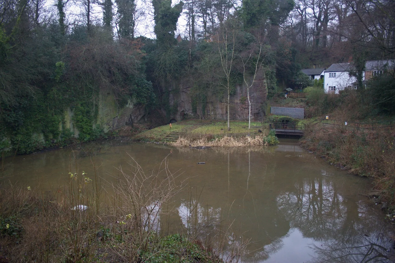

Visit Salford’s heritage trail identifies a view of the Delph from the road bridge. This is an above-ground visit; no permission or public tour into the mine canals has been confirmed.
Check the official visitor information ↗ · checked 2026-09-26
Use public paths and visitor areas. Do not enter unstaffed tunnels, shafts, railway land or restricted property.
Advice before you visitInformation checked 2026-09-26. Official records and the cited historical or visitor sources checked. No site visit or direct operator confirmation.
A canal inside the mine
Worsley Delph connected the Bridgewater Canal with passages inside the coal mines. Salford’s historical account describes John Gilbert’s role in creating the underground network, alongside James Brindley’s work on the surface canal.
Boats brought coal out through the tunnels. Water from the workings also helped drain the pits and feed the canal. The entrances were therefore part of both a transport system and a way of managing mine water.
- Worsley Village conservation area ↗ · reviewed 2026-09-26
- Worsley Village heritage trail ↗ · reviewed 2026-09-26
Looking from above ground
The official village trail directs walkers to look towards the Delph from the road bridge. From there the canal entrances belong to the visible history of the village, without becoming an invitation to go underground.
Historic England schedules the entrances and wharf as a monument. The nearby listed sluice machinery adds another part of the story: water was controlled to help mine boats leave. Stay on the advertised surface walk and observe barriers and local notices.
- Worsley Village heritage trail ↗ · reviewed 2026-09-26
- Historic England — list entry 1001956 ↗ · reviewed 2026-09-26
- Historic England — list entry 1215011 ↗ · reviewed 2026-09-26
What we still need to check
No underground visitor access has been established. Published sources give different total lengths for the canal network, so this page does not use a precise mileage.
Sources for the visiting information
- Worsley Village conservation area ↗ · reviewed 2026-09-26
- Worsley Village heritage trail ↗ · reviewed 2026-09-26
- Historic England — list entry 1001956 ↗ · reviewed 2026-09-26
- Historic England — list entry 1215011 ↗ · reviewed 2026-09-26
About the original record
This place is recorded by Historic England / Planning Data. The details below include the original description of its building or site type.
Place details
- Category
- Underground
- Building or site type (original wording)
- Canal tunnel entrances and wharf
- Period or date
- Eighteenth-century canal and mine development
- Current condition
- Not checked in person
- Heritage protection
- Scheduled monument
- Date protection was granted
- Not given
- Nearby town
- Bolton (approximate)
- County named in the original record
- Not supplied
- Current county or council area
- Salford
- Nation
- England
- Original record number
- 1001956
- Coordinates
- 53.500979, -2.381242 (reference point, not an entrance)
- Heritage data checked
- 2026-09-13
- Source last updated
- 2026-08-28
- Visitor information checked
- 2026-09-26
We checked the downloaded heritage record on 2026-09-13. We have not visited or inspected the site. The map point may refer to a whole site, one structure or a location where little remains.